9 Permafrost Discovery Gateway
Overview
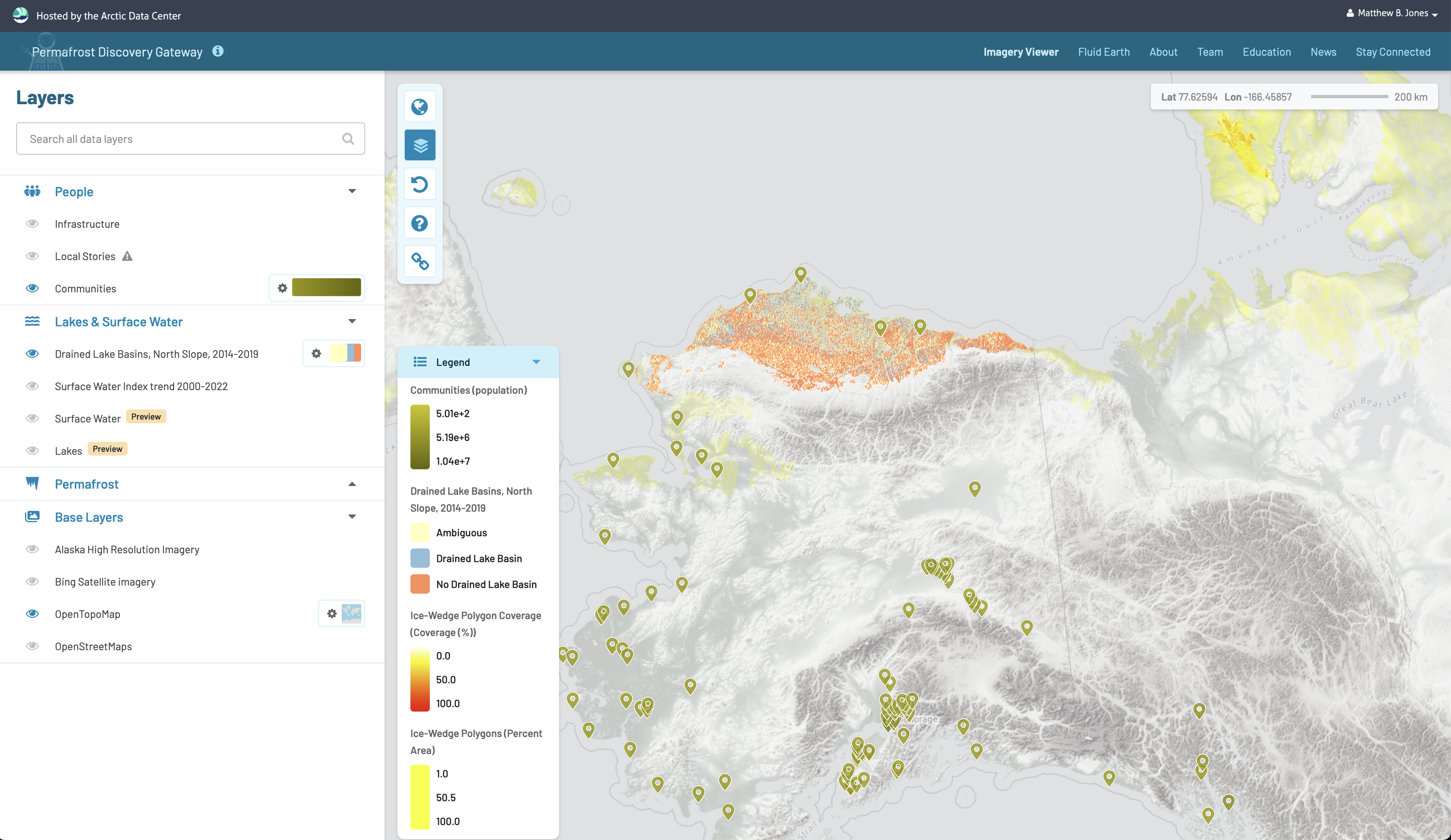
We have more satellite imagery data than what we know what to do with. There are many people with different knowledges and common passions for permafrost-affected landscapes. At the same time, Alaska and the Arctic at large are starving for basic geospatial information about it’s permafrost-affected landscape and infrastructure and people may have a hard time finding others to help make visions come true. The Permafrost Discovery Gateway (PDG) is an online free tool meant to empower a) researchers to produce and do science with big geospatial data (think sub-meter resolution maps across Alaska and the entire Arctic) and b) agencies and community leaders in land and infrastructure management that involves permafrost. PDG currently offers easy visual exploration via a regular web-browser of datasets that otherwise crush traditional GIS software due to the file size. In the works are, for example, new big datasets of permafrost thaw features and infrastructure, partial dataset download tool, the incorporation of statistical summaries and AI tools that help the user find interesting stories in the big data products, plug-and-play workflows to help you develop your own big dataset, and the monitoring of permafrost thaw near-real time. The PDG can become a gateway where data and people can connect, where technology enables anyone with an internet connection, no matter your technical skills and resources, to connect, explore, and together create.
